
Yesterday’s Weather
The spine of the Sierra Madre’s was still convectively active with storms further north and west in Mexico south of the international border from Douglas to Nogales. In New Mexico, storms were orientated along the 700 mb moisture axis from southwest New Mexico northeastward into the Texas Panhandle. A few storms were in eastern Arizona’s White mountains and Graham and Cochise Counties. Temperatures in Arizona continued to warm with mostly upslope/downslope flows. The satellite imagery with GLM lightning shows the extent of the storms.
Analysis
The nearest tropical upper tropospheric trough (“TUTT 1”) is still drifting slowly northward nearly Matamoros Tamaulipas, Mexico. “TUTT 2” is in southwest Georgia, and “TUTT 3” has moved west and is north of the Dominican Republic and east of the Bahamas. At 250mb, winds are westerly over Arizona with the upper-level water vapor showing how dry it still is.

At 500mb, the dewpoints have dropped around 7 degrees C in New Mexico. The ridge is located over Texas with the ridge axis westward to northern Arizona. Winds are light easterly below the ridge axis and westerly north of it.
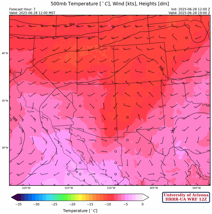
At 700mb, the ridge axis extends from central New Mexico to Lukeville, AZ. Temperatures have risen slightly, and the winds are from the southeast over Arizona and variable over New Mexico. The moisture axis has shifted back the east over New Mexico extending down into southeast Arizona then south into Mexico.

Today
For today’s forecast, very little has changed from yesterday except the atmosphere is drier. Temperatures will be warmer than yesterday across both states. Some thunderstorms are expected in New Mexico, similarly to yesterday.
Tomorrow
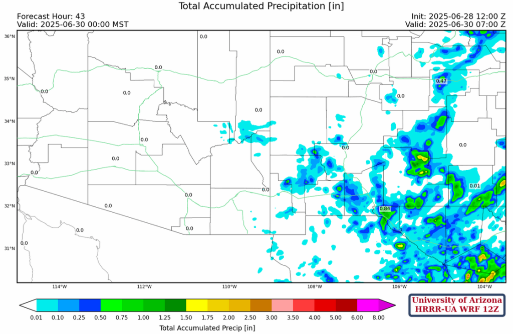
An overall drying trend is expected throughout the region into tomorrow. While there will be chances of storms over the Mountains in eastern Arizona, most of the precipitation associated with them will evaporate before it hits the ground. New Mexico will also have chances of storms, but less precipitation is expected to occur than previous days.
The forecast total accumulated precipitation through to midnight tomorrow shows potential for moderate 48-hr totals from El Paso, TX to Santa Rosa, NM, but little to no accumulation west of this line.
Outlook
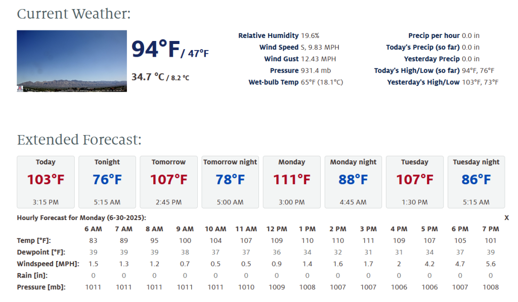
As mentioned above, both states are expected to dry out over the weekend and temperatures will to rise into Monday, with Tucson forecast to hit 111°F, and Phoenix 115°F.
The tropical system in the Eastern Pacific has become even more organized and is expected to form into a tropical depression this weekend. Forecasts for the Southwest U.S., have continued to trend towards an inflow of moisture around the 2nd-3rd of July. Models hint at dry thunderstorms developing in the White mountains on Monday with potential for strong microbursts.
Discussion written by Pat Holbrook