
Yesterday’s Weather
Thunderstorms decreased in areal coverage and intensity across eastern Arizona and New Mexico as the monsoon circulation has weakened. To the south in Mexico, a large thunderstorm complex developed in the Sierra Madre mountains and moved westward toward the Gulf of California southeast of Hermosillo and east of Los Mochis. A thunderstorm outflow from this complex will move into Arizona Friday morning.
The tropical system in the eastern Pacific south of Mexico continued to move westward without much development yet. The tropical upper tropospheric trough (TUTT low) over Mexico has moved slowly to the southwest.

Analysis
At 250mb, a ridge axis extends from off the east coast near Maryland west southwest to Midland. The TUTT low in Mexico has been moving slowly north, while another one in Florida has moved over the peninsula. Thunderstorms associated with the TUTT lows are located in the areas of the best divergence aloft to the northwest and southeast of the lows. The satellite images above shows the storms over western Mexico near Hermosillo and off the east coast of Mexico around the best divergence. The storms in the southeast U.S. and the Bahamas reflect the same pattern but for TUTT 2. Winds over Arizona and New Mexico are generally from the southwest, but have decreased about 40 knots.

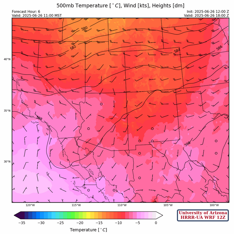
At 500mb, temperatures have risen slightly over Arizona and have dropped slightly over New Mexico. Winds over both states are westerly.
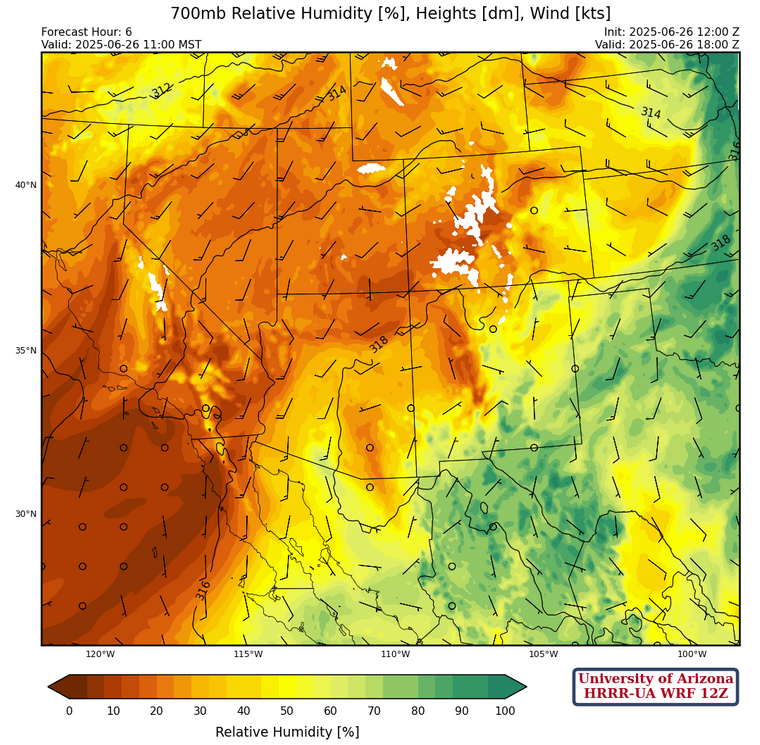
At 700mb, temperatures have increased over both states, but dewpoints have dropped around 3 degrees C. There is high pressure over southern central Arizona.
In the tropics, a surface circulation has now developed with the tropical system south of Mexico in the Gulf of Tehuantepec.
Today
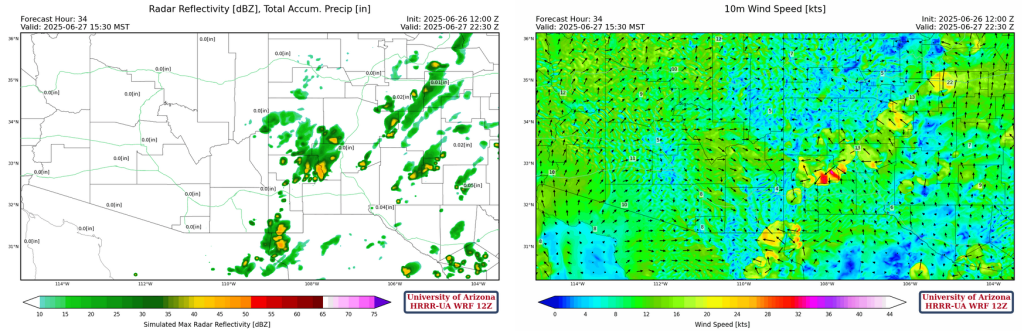
Most of the region is still rather dry but mainly mountain storms do form across eastern and southern New Mexico as well as eastern Arizona.
The slightly drier atmosphere makes for a better environment (inverted-v soundings) for microbursts with storms, as shown by the forecast sounding for San Simon at 3pm this afternoon, with 1100 J/kg of downdraft CAPE showing the potential for strong gusts.

Tomorrow
The increase in low level moisture up the Gulf of California will again mix out and the areas with storms will be in about the same place as yesterday but with a slight decrease in coverage.
Outlook
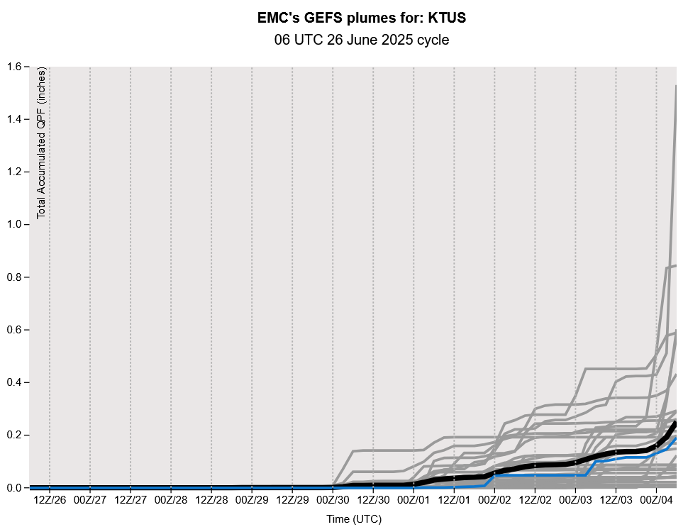
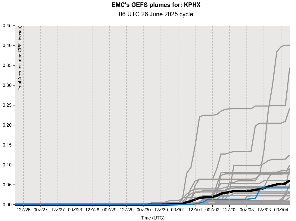
Warmer temperatures are still expected throughout the week, with a daily increase of around 1-2 degrees F. Scattered showers over the mountains in New Mexico are expected, but rain chances will decrease through to the end of the week. Looking out further, the Global Ensemble Forecast System (GEFS) plumes shown below indicate oncoming moisture around the beginning of July, with most model members agreeing on some amount of precipitation by the 4th of July for both Tucson and Phoenix.
Discussion written by Pat Holbrook